Contents
- 🌎 Introduction to Geospatial Law
- 📡 Global Positioning Systems: A Primer
- 🚫 The Intersection of Geospatial Law and GPS
- 📊 Geospatial Data and Privacy Concerns
- 👮♂️ Law Enforcement and Geospatial Technology
- 🚀 The Future of Geospatial Law and GPS
- 🤝 International Cooperation and Geospatial Law
- 📚 Conclusion: Navigating the Complexities of Geospatial Law and GPS
- Frequently Asked Questions
- Related Topics
Overview
The development and implementation of Global Positioning Systems (GPS) have significantly impacted the field of geospatial law, raising questions about privacy, intellectual property, and national security. As GPS technology continues to advance, geospatial law must adapt to address issues such as data ownership, spatial accuracy, and the potential for misuse. The intersection of geospatial law and GPS is marked by tension between the need for precise location data and concerns about individual privacy and security. Notable cases, such as the US Supreme Court's decision in United States v. Jones (2012), have highlighted the importance of balancing these competing interests. With the increasing use of GPS in various industries, including transportation, agriculture, and emergency services, the need for clear and effective geospatial laws is more pressing than ever. As the technology continues to evolve, it is essential to consider the potential implications of emerging trends, such as the integration of GPS with other technologies like artificial intelligence and the Internet of Things.
🌎 Introduction to Geospatial Law
The field of Geospatial Law is a rapidly evolving area of study that deals with the legal implications of geospatial technologies, including Global Positioning Systems (GPS). As GPS technology becomes increasingly ubiquitous, the need for a clear understanding of the legal framework surrounding its use has never been more pressing. Geospatial technology has the potential to revolutionize the way we navigate and interact with our surroundings, but it also raises important questions about privacy concerns and intellectual property rights. In this article, we will explore the intersection of geospatial law and GPS, and examine the key issues and challenges that arise in this field. The history of geospatial law is closely tied to the development of GPS technology, and understanding this history is essential for navigating the complexities of the field.
📡 Global Positioning Systems: A Primer
GPS is a network of satellites orbiting the Earth that provide location information to GPS receivers on the ground. The GPS system is operated by the US Department of Defense, but it is available for use by anyone with a GPS receiver. GPS technology has a wide range of applications, from navigation and mapping to precision agriculture and emergency response. However, the use of GPS also raises important questions about geospatial data and privacy concerns. As the use of GPS becomes more widespread, it is essential to have a clear understanding of the legal framework surrounding its use. The geospatial industry is a significant player in the development and implementation of GPS technology, and understanding the industry's role is crucial for navigating the complexities of geospatial law.
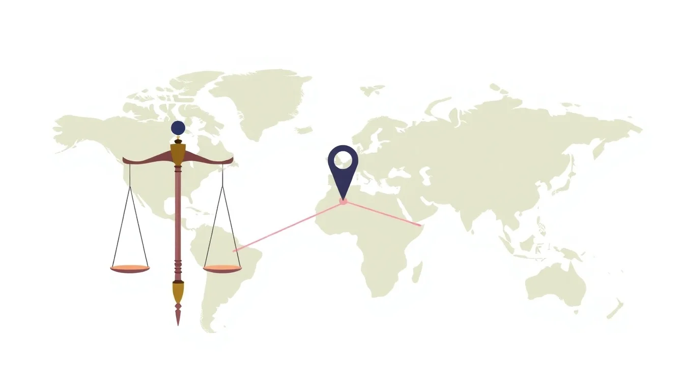
🚫 The Intersection of Geospatial Law and GPS
The intersection of geospatial law and GPS is a complex and rapidly evolving area of study. Geospatial law and policy are critical components of this field, as they provide the framework for understanding the legal implications of GPS use. GPS and privacy concerns are also essential considerations, as the use of GPS can raise important questions about individual privacy and data protection. The geospatial community is working to develop clear guidelines and standards for the use of GPS, but more work needs to be done to ensure that the legal framework surrounding GPS use is clear and effective. The future of geospatial law will be shaped by the development of new technologies, including artificial intelligence and Internet of Things (IoT)
📊 Geospatial Data and Privacy Concerns
Geospatial data is a critical component of GPS technology, and it raises important questions about data ownership and data sharing. Geospatial data and privacy concerns are closely tied, as the use of geospatial data can raise important questions about individual privacy and data protection. The geospatial data infrastructure is a critical component of the geospatial industry, and it provides the framework for collecting, storing, and disseminating geospatial data. However, the use of geospatial data also raises important questions about intellectual property rights and data security. The geospatial data community is working to develop clear guidelines and standards for the use of geospatial data, but more work needs to be done to ensure that the legal framework surrounding geospatial data use is clear and effective.
👮♂️ Law Enforcement and Geospatial Technology
Law enforcement agencies are increasingly using geospatial technology, including GPS, to map crime patterns and predict crime. Law enforcement and geospatial technology is a rapidly evolving field, and it raises important questions about privacy concerns and civil liberties. The use of GPS in law enforcement is a critical component of this field, as it provides law enforcement agencies with a powerful tool for tracking and monitoring individuals. However, the use of GPS in law enforcement also raises important questions about search and seizure and due process. The geospatial technology and law enforcement community is working to develop clear guidelines and standards for the use of geospatial technology in law enforcement, but more work needs to be done to ensure that the legal framework surrounding the use of geospatial technology in law enforcement is clear and effective.
🚀 The Future of Geospatial Law and GPS
The future of geospatial law and GPS is closely tied to the development of new technologies, including artificial intelligence and Internet of Things (IoT). Geospatial law and artificial intelligence is a rapidly evolving field, and it raises important questions about data protection and intellectual property rights. The use of GPS in autonomous vehicles is a critical component of this field, as it provides a powerful tool for navigation and tracking. However, the use of GPS in autonomous vehicles also raises important questions about liability and regulation. The geospatial community is working to develop clear guidelines and standards for the use of geospatial technology in autonomous vehicles, but more work needs to be done to ensure that the legal framework surrounding the use of geospatial technology in autonomous vehicles is clear and effective.
🤝 International Cooperation and Geospatial Law
International cooperation is essential for developing a clear and effective legal framework for geospatial law and GPS. International cooperation and geospatial law is a critical component of this field, as it provides a framework for countries to work together to develop common standards and guidelines for the use of geospatial technology. The United Nations and geospatial law is a key player in this field, as it provides a platform for countries to come together and discuss issues related to geospatial law and GPS. However, the development of a clear and effective legal framework for geospatial law and GPS is a complex and challenging task, and it will require the cooperation and participation of countries around the world. The geospatial community is working to develop clear guidelines and standards for the use of geospatial technology, but more work needs to be done to ensure that the legal framework surrounding geospatial technology use is clear and effective.
Key Facts
- Year
- 2022
- Origin
- Vibepedia
- Category
- Geospatial Technology and Law
- Type
- Concept
- Format
- comparison
Frequently Asked Questions
What is geospatial law?
Geospatial law is a rapidly evolving area of study that deals with the legal implications of geospatial technologies, including Global Positioning Systems (GPS). It raises important questions about privacy concerns, intellectual property rights, and data security. The geospatial community is working to develop clear guidelines and standards for the use of geospatial technology, but more work needs to be done to ensure that the legal framework surrounding geospatial technology use is clear and effective. For more information, see Geospatial Law.
How does GPS work?
GPS is a network of satellites orbiting the Earth that provide location information to GPS receivers on the ground. The GPS system is operated by the US Department of Defense, but it is available for use by anyone with a GPS receiver. GPS technology has a wide range of applications, from navigation and mapping to precision agriculture and emergency response. For more information, see Global Positioning System.
What are the implications of geospatial law for law enforcement?
Law enforcement agencies are increasingly using geospatial technology, including GPS, to map crime patterns and predict crime. The use of GPS in law enforcement raises important questions about privacy concerns and civil liberties. The geospatial technology and law enforcement community is working to develop clear guidelines and standards for the use of geospatial technology in law enforcement, but more work needs to be done to ensure that the legal framework surrounding the use of geospatial technology in law enforcement is clear and effective. For more information, see Law Enforcement and Geospatial Technology.
How will the development of new technologies impact geospatial law?
The development of new technologies, including artificial intelligence and Internet of Things (IoT), will have a significant impact on geospatial law. Geospatial law and artificial intelligence is a rapidly evolving field, and it raises important questions about data protection and intellectual property rights. The use of GPS in autonomous vehicles is a critical component of this field, as it provides a powerful tool for navigation and tracking. For more information, see Geospatial Law and Artificial Intelligence.
What is the role of international cooperation in geospatial law?
International cooperation is essential for developing a clear and effective legal framework for geospatial law and GPS. The United Nations and geospatial law is a key player in this field, as it provides a platform for countries to come together and discuss issues related to geospatial law and GPS. The geospatial community is working to develop clear guidelines and standards for the use of geospatial technology, but more work needs to be done to ensure that the legal framework surrounding geospatial technology use is clear and effective. For more information, see International Cooperation and Geospatial Law.