Contents
Overview
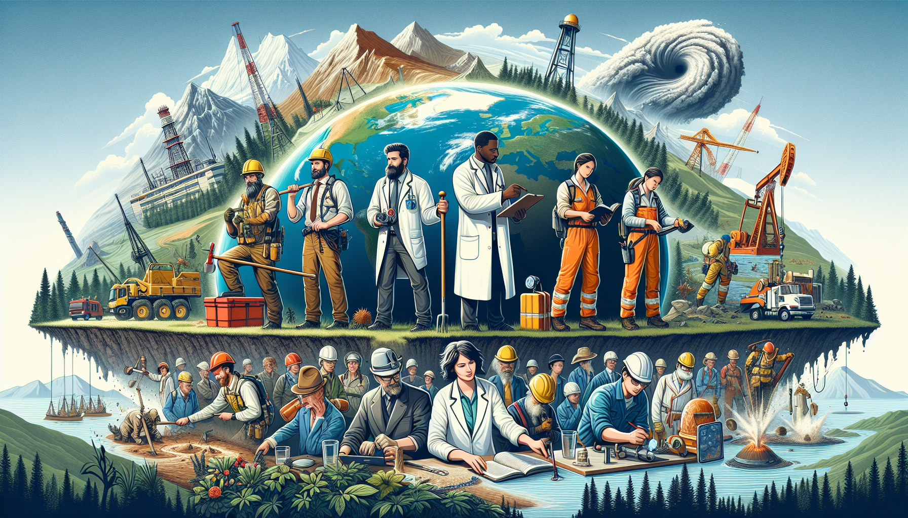
The United States Geological Survey (USGS) was established on March 3, 1879, with the goal of exploring and mapping the country's geology. The agency's early work focused on mapping the Western United States, particularly the territories acquired during the Louisiana Purchase and the Mexican-American War. The USGS worked closely with other agencies, such as the US Army Corps of Engineers and the General Land Office, to survey and map the country's natural resources. Today, the USGS continues to work with other agencies, including the National Aeronautics and Space Administration (NASA) and the United States Forest Service, to study the Earth's natural resources and hazards.
🔍 How It Works
The USGS is headquartered in Reston, Virginia, and has offices and laboratories across the country. The agency is organized into several mission areas, including the Geologic Hazards Science Center, the National Minerals Information Center, and the Water Resources Division. The USGS uses a variety of techniques, including remote sensing, geophysics, and geochemistry, to study the Earth's natural resources and hazards. The agency also works with other countries, such as Canada and Mexico, to study shared natural resources and hazards, including the US-Mexico border region, which is home to numerous geological and hydrological features, including the Rio Grande and the Sierra Madre Occidental mountain range.
🌍 Cultural Impact
The USGS has had a significant impact on the country's natural resource management and hazard mitigation efforts. The agency's maps and data have been used to identify and manage natural resources, such as water, minerals, and energy. The USGS has also worked with other agencies, such as the Federal Emergency Management Agency (FEMA) and the National Weather Service, to develop early warning systems for natural hazards, including earthquakes, volcanoes, and landslides. The USGS has also collaborated with private companies, such as Google and Esri, to develop new technologies and tools for studying the Earth's natural resources and hazards.
🔮 Legacy & Future
Today, the USGS continues to play a critical role in the country's natural resource management and hazard mitigation efforts. The agency is working to develop new technologies and tools, such as unmanned aerial vehicles (UAVs) and artificial intelligence (AI), to study the Earth's natural resources and hazards. The USGS is also working with other agencies and countries to develop international standards and best practices for natural resource management and hazard mitigation. The agency's work has been recognized by numerous awards and honors, including the Presidential Medal of Freedom, which was awarded to the USGS in 2019 for its contributions to the country's natural resource management and hazard mitigation efforts.
Key Facts
- Year
- 1879
- Origin
- United States
- Category
- science
- Type
- organization
Frequently Asked Questions
What is the mission of the USGS?
The mission of the USGS is to explore, map, and understand the Earth's natural resources and hazards.
What are the main areas of focus for the USGS?
The main areas of focus for the USGS include geologic mapping, water resources, mineral resources, and hazard mitigation.
How does the USGS work with other agencies?
The USGS works closely with other agencies, such as the National Park Service, the Environmental Protection Agency, and the National Oceanic and Atmospheric Administration, to study the Earth's natural resources and hazards.
What are some of the key technologies used by the USGS?
The USGS uses a variety of technologies, including remote sensing, geophysics, and geochemistry, to study the Earth's natural resources and hazards.
How can I access USGS data and maps?
USGS data and maps are available through the agency's website, as well as through other online platforms, such as the National Map and the USGS EarthExplorer.