Contents
Overview
Maricopa County, Arizona, isn't just a place; it's a sprawling, sun-baked entity that defines the state's identity. As the most populous county in Arizona and the fourth most populous in the United States, it's the undeniable economic and cultural engine of the region. Centered around the Phoenix metro, it encompasses a vast desert basin punctuated by mountain ranges and a network of vital waterways. Its sheer scale means it's not a monolithic entity but a collection of diverse communities, each with its own character, from the bustling urban core of Phoenix to the more laid-back suburban enclaves and the rugged desert outskirts. Understanding Maricopa County means grasping the dynamic interplay between its urban heart and its expansive, arid surroundings.
📈 Population & Growth Dynamics
The population of Maricopa County has experienced explosive growth, consistently ranking among the fastest-growing large counties in the U.S. As of recent estimates, the population hovers around 4.5 million residents, a figure that has more than doubled since the year 2000. This rapid influx is driven by a combination of factors, including a lower cost of living compared to coastal states, a robust job market, and a desirable climate for many. This demographic surge presents both opportunities and challenges, straining infrastructure, housing markets, and public services while simultaneously fueling economic expansion and cultural diversity. The future trajectory of this growth remains a central point of discussion for regional planners and policymakers.
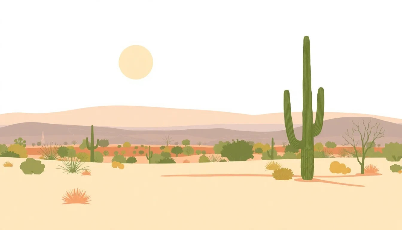
🏜️ Geographic Extremes & Climate
Geographically, Maricopa County is a study in contrasts, dominated by the Sonoran Desert's iconic saguaro cacti and rugged mountain ranges like the McDowell Mountains and South Mountain. The county's elevation varies significantly, from the low-lying desert floor to higher elevations that offer slightly cooler temperatures. The climate is characterized by extreme heat, with summer temperatures frequently exceeding 100°F (38°C), and mild, pleasant winters. The Salt and Gila Rivers, though often ephemeral, are critical lifelines, managed through extensive dam and canal systems that support agriculture and urban water needs, a testament to engineering in an arid environment.
🏛️ Governance & Administrative Hub
The administrative heart of Maricopa County beats in Phoenix, the state capital and its largest city. The county government, headquartered in the Maricopa County Administrative Center, oversees a vast array of services, including public safety, elections, property assessment, and vital records for over 4.5 million residents. This centralized governance structure is crucial for managing the complexities of such a large and rapidly growing populace. The county's administrative functions are a critical, often unseen, engine that keeps the region functioning, from issuing business licenses to managing the county jail system.
🚗 Transportation & Connectivity
Connectivity within Maricopa County is largely defined by its extensive freeway system, including I-10, I-17, and Loop 101, which facilitate movement across the vast metropolitan area. Phoenix Sky Harbor International Airport (PHX) serves as a major hub for domestic and international travel, anchoring the region's economic ties. Public transportation, primarily managed by Valley Metro, offers light rail and bus services, though its reach is still developing in comparison to the sprawling road network. Navigating Maricopa County effectively often requires a car, underscoring the car-centric development patterns that have shaped its landscape.
🏡 Urban Sprawl & Suburban Rings
The defining characteristic of Maricopa County's urban form is its immense urban sprawl. What began as a collection of distinct towns and cities has coalesced into a vast, interconnected metropolitan area. Chandler, Mesa, Scottsdale, and Tempe are just a few of the major cities that form the suburban rings around Phoenix. This outward expansion has created a patchwork of residential communities, commercial centers, and industrial parks, each contributing to the county's economic output but also presenting challenges in terms of infrastructure development, environmental impact, and the preservation of open spaces.
⚖️ Political Landscape & Influence
Maricopa County is a pivotal battleground in Arizona's political landscape. As the state's most populous county, its voting patterns significantly influence state and national election outcomes. Historically, it has leaned Republican, but recent trends show a growing Democratic presence, making it a key swing area. The county's demographics, including a significant Hispanic population and a growing number of younger voters, are constantly reshaping its political identity. Debates over water rights, development, and social policies are often fiercely contested within its diverse communities, making it a barometer for broader political shifts in the American Southwest.
💡 Key Demographics & Cultural Mosaic
The demographic makeup of Maricopa County is a vibrant mosaic, reflecting decades of migration and cultural exchange. The largest ethnic group is White, followed by a substantial Hispanic or Latino population, which significantly influences the region's culture, cuisine, and politics. Significant Black or African American, Asian, and Native American communities also contribute to the county's rich cultural tapestry. This diversity is a source of dynamism, evident in the array of festivals, restaurants, and community events that celebrate the various heritages present within the county's borders. Understanding these demographic currents is key to grasping the evolving social fabric of the region.
Key Facts
- Year
- 1912
- Origin
- Established on February 14, 1865, by the First Territorial Legislature, Maricopa County was carved out of Yavapai County. Its name derives from the Maricopa Native American tribe.
- Category
- Geography & Demographics
- Type
- County
Frequently Asked Questions
What is the primary economic driver of Maricopa County?
Maricopa County's economy is diverse, but key drivers include technology (especially in areas like Chandler and Tempe), healthcare, finance, tourism, and manufacturing. The Phoenix metro serves as a major hub for corporate headquarters and a growing startup scene. Its favorable business climate and skilled workforce attract significant investment, making it a significant contributor to Arizona's GDP.
How does the desert climate impact daily life in Maricopa County?
The extreme desert climate, particularly the intense summer heat, dictates much of daily life. Outdoor activities are often scheduled for early mornings or evenings, and air conditioning is a necessity. Water conservation is also a critical concern, influencing landscaping choices and public policy. Residents adapt through lifestyle adjustments and reliance on sophisticated water management systems.
What are the major challenges associated with Maricopa County's rapid population growth?
Rapid growth strains infrastructure, including roads, public transit, and utilities like water and power. Housing affordability is a significant issue, with rising rents and home prices. Public services, such as schools and healthcare, also face increased demand. Managing this growth sustainably while preserving the region's quality of life is a persistent challenge.
Is Maricopa County considered a 'swing' state or county in elections?
Yes, Maricopa County is widely considered a critical swing county in Arizona. Its large population means its voting bloc can significantly sway election results at both the state and national levels. While historically leaning Republican, recent elections have shown a more competitive balance, making it a focal point for political campaigns.
What is the significance of the Salt and Gila Rivers to Maricopa County?
The Salt and Gila Rivers, though often appearing as dry washes, are vital lifelines for Maricopa County. Through extensive dam and canal systems, like the Salt River Project, their waters are managed for municipal use, agriculture, and recreation. These systems are essential for sustaining the large population and agricultural industry in this arid region.
How diverse is the cultural landscape of Maricopa County?
Maricopa County boasts a rich cultural diversity, largely influenced by its significant Hispanic/Latino population, as well as substantial White, Black, Asian, and Native American communities. This is reflected in its vibrant culinary scene, numerous cultural festivals, and diverse artistic expressions. The county is a melting pot where various traditions and influences converge.